Wizmap II is a program for investigating earthquake catalogues and macroseismic data sets. It is analogous to a GIS in its operation, except that as it just does seismicity data, it is rather easier to use.
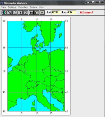
Wizmap II displays data files in map form with a choice of nine projections and two resolutions of coastlines (extra coastlines can be added if required). The user can interact with the data using a simple point-and-click interface.
Identify earthquakes or data points by clicking on them in the map display. View the map at different scales by zooming in and out. View depth profiles across the seismicity at any point. Identify events within the depth profile, with optional rotatable 3D view.
Filter the data by time, magnitude or depth limits. See animations of migrating seismicity. Extract subsets of a main catalogue matching desired time, space, magnitude and depth criteria.
Draw polygonal zones and obtain analyses of the seismicity within each zone, with respect to maximum magnitude, Gutenberg-Richter curve, depth distribution, etc. View intensity data. Draw isoseismals and measure the area. Measure great circle distances on the fly. Plot station-event travel paths.
Comments